Sustainable Land Management

CLS supports international and local players in the management of land resources. For more than 30 years, the company has been producing geographical data based on satellite and airborne platforms (aircraft and drones) but also in situ measurements. An experience recognized throughout the world.
Since January 1st, 2021, SIRS, a CLS subsidiary, merged with its parent company, the CLS Group.
Geospatial information services to better manage our land resources
CLS delivers to its clients (national and supranational institutions, local governments and corporations) a wide range of services and solutions for decision-making based on:
- processing and analysis of optical, radar and lidar based Earth observation data (satellites, aircraft, drones and in-situ),
- a unique and optimized blend of geographic information technologies and methods fit to meet user requirements in a timely and quality assured manner.
| 6 km² mapped territory per year the size of Europe | +100 activations & fast mapping service deliveries in emergency situations | 200 cities have been mapped to a large scale | 1/3 of French cities mapped (12,000 cities) |

ACCOMPANY THE ACTORS OF THE AGRICULTURE
Monitoring of the Common Agricultural Policy, mapping crop types, mapping of linear and small landscape features, grass land monitoring… CLS maps cropland identifying crop types and fallow land. This information is relevant to accompany agricultural policies.
PROTECT THE FORESTS
Based on 30 years of close collaboration with forest managers, CLS identifies, monitors and analyzes the evolution of forest cover around the world for national and international policies (UNFCCC REDD +, Zero deforestation, etc.). This is key information for the sustainable management of our natural heritage.

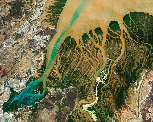
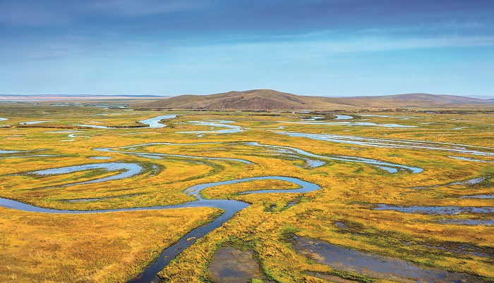
HYDROGRAPHY: MANAGING WATER RESOURCES
Whether drinkable, navigable or even used for energy supply, water is a vital resource for our communities. In the context of climate change, CLS supports water managers in the creation and the management of hydrographic network datasets.
URBANIZATION
The world’s population is growing… and associated urban expansion is exponential. How to sustainably manage our urban footprint? How to preserve our soils? CLS provides urban planners with precise maps and indicators for a controlled management of our urban development.

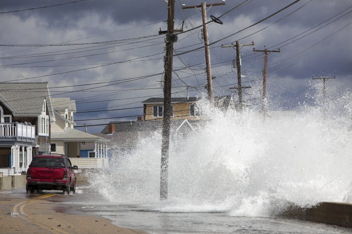
RISK MANAGEMENT
Humanitarian crises, floods, fires, volcanic eruptions, earthquakes, natural, industrial or extreme geopolitical events are numerous. CLS delivers maps rapidly on impacted territories. The information delivered is precise, quality assured and standardized.
ENVIRONMENTAL PROTECTION
How to control the impact of human activities on the environment? The answer: knowledge and evaluation.
Thanks to our multidisciplinary expertise (combination of field studies and Earth observations) CLS contributes to our knowledge of natural environments and habitat monitoring.