Gestion durable des territoires

CLS accompagne les acteurs internationaux et locaux dans la gestion des territoires. Depuis plus de 30 ans, l’entreprise produit des données géographiques à partir d’observations satellites, aériennes (avions et drones) mais aussi in situ. Une expérience reconnue mondialement.
Au 1er janvier 2021, SIRS, filiale de CLS, fusionne avec sa maison-mère, le Groupe CLS.
Des données d'observation pour une meilleure gestion des territoires.
CLS délivre à ses clients, institutions nationales, supranationales, collectivités territoriales et industriels une large gamme de services et de solutions d’aide à la décision, fondés sur :
- l’exploitation de données d’observation de la Terre (satellites, avions, drones et in-situ) issues des technologies optiques, radar et lidar;
- une combinaison unique et optimale des méthodes d’analyse de l’information géographique pour répondre aux impératifs de délai et de qualité de nos clients.
| 6km² de territoire cartographié par an soit l’équivalent de la superficie de l’Europe | +100 activations et services de cartographie rapide dans le cadre de situations d’urgence | 200 SCOTS ont été cartographiés en occupation du sol à grande échelle | 1/3 des villes françaises cartographiées |
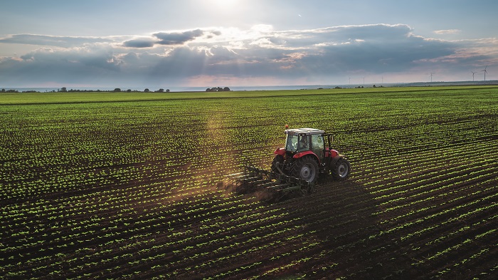
ACCOMPAGNER LES ACTEURS DE L'AGRICULTURE
Suivi de la Politique Agricole Commune, inventaire des cultures, géoréférencement des haies, suivi de l’évolution des surfaces en prairie… CLS cartographie au quotidien les sols exploités, cultivés ou laissés au repos. Une information précieuse pour accompagner les politiques agricoles.
PROTEGER LES FORETS
Résultat de 30 ans de collaboration étroite avec les gestionnaires de forêts, CLS localise, suit et évalue l’évolution du couvert forestier dans le cadre de politiques nationales et internationales (CCNUCC REDD+, Déforestation zéro). Une information capitale pour une gestion durable de notre patrimoine naturel.

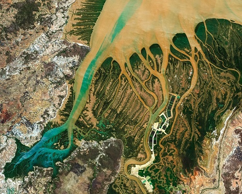
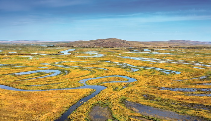
HYDROGRAPHIE : GERER LES RESSOURCES EN EAU
Quelle soit potable, navigable ou qu’elle alimente des filières énergétiques, l’eau est une ressource capitale pour nos communautés. Dans un contexte de bouleversement climatique, CLS accompagne les gestionnaires de l’eau dans la création et la gestion de leurs référentiels hydrographiques.
URBANISATION
La population mondiale ne cesse d’augmenter… L’expansion urbaine associée est exponentielle. Comment gérer durablement nos tâches urbaines ? Comment préserver nos sols ? CLS fournit aux acteurs territoriaux des cartographies et des indicateurs précis pour une gestion maîtrisée de notre urbanisation.

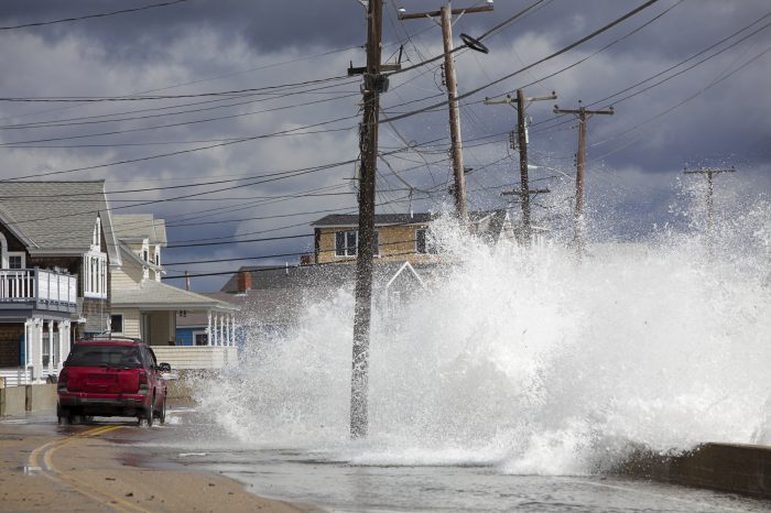
GESTION DES RISQUES
Crises humanitaires, inondations, incendies, éruptions volcaniques, séismes, les événements naturels, industriels ou géopolitiques extrêmes sont nombreux. CLS délivre des cartographies rapides sur les territoires impactés. Des informations précises, qualitatives et standardisées.
PROTECTION DE L'ENVIRONNEMENT
Comment maîtriser l’impact des activités humaines sur l’environnement ? La réponse tient en deux mots : connaître et évaluer.
Grâce à ses expertises pluridisciplinaires (combinaison d’études terrains et d’observations de la Terre), CLS enrichit notre connaissance des milieux naturels et du suivi des habitats.